 CHATURANGA PRADEEP SAMARAWICKRAMA
Reply To:
Name - Reply Comment
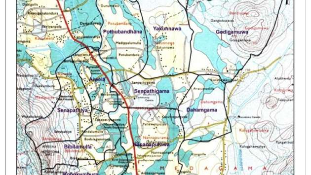
Colombo, July 31 (Daily Mirror) - The Survey Department announced that land maps will be avaliable online from tomorrow (August 1), marking a major step towards digital public services.
Surveyor General Y.G. Gnanathilaka made the announcement during a media briefing in Colombo today, held in line with the department’s 225th anniversary celebrations.
“Until now, the public could obtain survey maps only through departmental offices. With the new system, individuals can now purchase maps via online payment through the department’s website,” he said.
He further noted that the department’s land information database has been integrated with the Land Registry Department, enabling the public to access land-related data more efficiently.
All survey maps and plans have now been digitized, with nearly 2.4 million land plots archived in the department’s digital repository.
Additionally, digitized survey sketches will be available when issuing land title certificates, streamlining access to official land survey information.