

Reply To:
Name - Reply Comment

The dugong is currently assessed as vulnerable on the IUCN Red List
 Yet caution can be misread as weakness. Uncertainty can be mistaken for inaction, and legal protection alone does not automatically guarantee ecological stability. None of this implies negligence. It reflects the practical limits of monitoring and documentation in a working seascape
By Anik Jayasekara
|
|
 |
A three-wheeler rattles past the lagoon road. A stack of nets dries on a low wall in the heat. Someone scrolls through messages beneath a palmyrah tree, glancing at water that appears, at first look, uncomplicated.
A few hundred metres offshore, beneath that uncomplicated surface, a meadow is being maintained.
Not by machinery. Not by ordinance, but by a mouth.
A dugong moves slowly across a field of seagrass, trimming it with the kind of patience that does not require recognition. The meadow is not decorative. It feeds fish. It stabilises sediment. It supports livelihoods that begin long before sunrise.
The dugong does not know any of this. It simply eats. And yet, its survival depends on decisions it never sees.
In Sri Lanka’s northwest seascape, dugongs are legally protected but difficult to count. Their presence is acknowledged. Their numbers are uncertain. That uncertainty is not abstract. That uncertainty can shape monitoring budgets, enforcement priorities and how confidently institutions speak about the future of coastal waters shared by fishers, planners and marine wildlife.
Beneath an ordinary shoreline, an unusual governance question unfolds: how does a country protect what it cannot easily measure?
An unusual marine arrangement
The dugong (Dugong dugon) is currently assessed as vulnerable on the IUCN Red List as of the most recently published assessment available at the time of writing. In Sri Lanka, attention frequently centres on northwestern waters, particularly the Gulf of Mannar and Palk Bay, where seagrass meadows occur.
Unlike many species that capture public imagination through spectacle, dugongs are rarely seen. Their presence is often inferred rather than observed directly. Their numbers are difficult to measure with precision. Sri Lanka-focused materials describe distribution and current status as uncertain, even as legal protection exists under the Fauna and Flora Protection Ordinance framework in general terms.
This combination is unusual -- a legally protected marine mammal, living in waters used daily for fishing and livelihoods, and in In habitats that are ecologically important but not visually dramatic in a system where ‘we are not sure’ becomes part of the management reality.
Field officers and coastal practitioners often note that sightings are infrequent but not unheard of in parts of the northwest. The difficulty is not that dugongs never appear. It is that appearances are scattered, unevenly documented and hard to translate into stable population understanding. Practitioners are often balancing ecological protection with food security, safety at sea and realistic enforcement capacity. That gap between presence and certainty shapes everything that follows.
Where public understanding starts to fray
Public conversations about marine protection tend to simplify quickly. Either the species is “there” or it is “gone”. Public discussion often collapses enforcement into “working” or “failing”. Either fishing is the problem, or conservation is the problem. But dugongs live inside a shared workspace. That workspace includes fishing grounds, transport routes and coastal economies. Sri Lanka-focused materials identify incidental bycatch and habitat pressures, particularly seagrass condition, among key concerns. When survey coverage is limited, interpretation becomes cautious.
Yet caution can be misread as weakness. Uncertainty can be mistaken for inaction, and legal protection alone does not automatically guarantee ecological stability. None of this implies negligence. It reflects the practical limits of monitoring and documentation in a working seascape. These assumptions do not always survive contact with lived reality. This is not an argument about blame. It is an argument for getting the shared facts and trade-offs right before decisions harden into policy memory.
Public understanding vs operational reality
When dugong numbers are described as uncertain, what does that uncertainty mean in practice? Is it a reflection of low population density, low detectability, limited survey design or all three at once? The distinction matters. Each explanation points to a different management response.
When bycatch is identified as a pressure, what is actually being diagnosed? Gear type. Reporting behaviour. Enforcement capacity. Economic trade-offs within fisheries systems. Or the quiet incentives that shape what gets recorded and what does not.
If an entanglement occurs, what happens next? Who is called? Who responds? Who writes it down? And at which step does the chain most often break? If seagrass condition is central to dugong survival, how confidently are trends mapped in the areas most relevant to feeding grounds? Are priority zones aligned with ecological relevance and fishing intensity, or with historical boundaries and administrative convenience?
Across a transboundary seascape such as the Gulf of Mannar and Palk Bay, are monitoring methods compatible enough to build shared understanding, or do they produce parallel narratives that never quite meet? And perhaps most quietly consequential of all: what would count as “working”? A reduction in recorded entanglements, improved habitat continuity, better targeting of patrols, greater trust in reporting systems. Without clarity on this, activity can easily be mistaken for progress.
For readers unfamiliar with marine planning, these may sound like technical refinements. In practice, they determine where resources flow, how enforcement is prioritised and which assumptions solidify into policy memory. These questions are not posed to assign blame. They are posed because ecological systems and human systems do not operate separately. Where they intersect, precision matters.
Why this matters beyond a species
Dugongs are not only about dugongs. They sit at the intersection of fisheries management, coastal planning, legal enforcement, transboundary coordination in the Gulf of Mannar and Palk Bay, and long-term ecological memory. When documentation systems function well, rare events become usable knowledge. When reporting pathways are trusted, anecdote becomes data. When spatial frameworks guide attention, resources follow ecological relevance rather than convenience. If nobody writes it down, the ocean forgets it, and what is forgotten in one decade often becomes misunderstood in the next. If nobody records an entanglement, it does not enter a dataset.If a sighting is not logged, it cannot shape a map.If habitat damage is not measured, it does not influence planning. The ocean does not keep minutes. Institutions do. And what is not recorded in one decade often returns in the next as assumption, speculation or argument.
Similar uncertainty patterns are reflected across parts of the dugong’s range in South Asia, where long-term survival assessments often hinge on limited contemporary population data. This is not unique to Sri Lanka. It is a reminder that compatible monitoring, documentation discipline and cross-boundary coordination determine whether uncertainty narrows or widens over time.
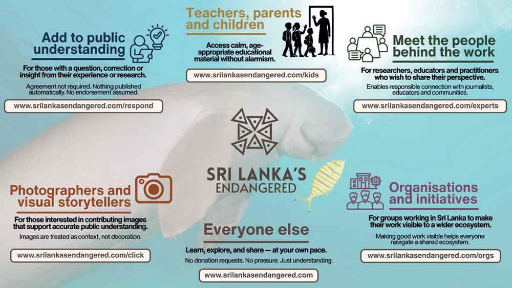
The Unity Icon
SriLankasEndangered.com uses a quiet reflection symbol called the Unity Icon. It begins with a triangle. The triangle represents a person. Each corner reflects something that shapes their contribution, their knowledge, their skills, their lived experience, sometimes even the personal reasons they care about. At the centre sits a small dot. It represents conscience. The quiet voice that often guides decisions long before they are written into law, policy, research papers or public conversations.
In environmental work, those triangles naturally point in different directions. Scientists focus on data. Fishers focus on livelihood. Planners focus on feasibility. Communities focus on continuity. That diversity is real and necessary. It reflects how complex marine systems truly are.
But when even one corner of each person’s work turns towards the same living systems – towards seagrass meadows, coastal waters, species that move quietly beneath the surface – connections begin to form. Knowledge travels further. Trade-offs become clearer. Responsibility feels shared rather than carried alone.
The Unity Icon does not ask everyone to agree. It does not suggest perfection. It simply reflects a quieter idea: when part of who we already are turns towards care, scattered effort begins to align. Environmental stability rarely depends on one voice. It grows when many different forms of attention point, even slightly, in the same direction.
A story still being written
What appears in public articles today often becomes the reference point for students, journalists and policymakers tomorrow. For that reason, this article remains open to refinement. If you spot an oversimplification, the public record can be corrected quickly and transparently. If aspects of dugong ecology, fisheries interaction, habitat mapping or enforcement practice have been oversimplified, practitioners are invited to shape the public record directly.
Add to public understanding
If this article raised a question, nuance, correction or perspective shaped by research, field work, planning or lived experience, you are welcome to respond to www.srilankasendangered.com/respond. Contributions help refine how this issue is understood over time.
Meet the people behind the work
Researchers, practitioners, educators, planners and others working close to Sri Lanka’s environments who wish to share their journey, experience or perspective, and enable responsible connection with journalists, educators and communities are welcome here: www.srilankasendangered.com/experts. This space prioritises clarity and credibility.
Teachers, parents and children
For educators and families looking for fun, age-appropriate material that supports classroom discussion and home conversations, without alarmism or fear: www.srilankasendangered.com/kids. Designed for reading aloud, shared learning and curiosity-led discussion.
Photographers and visual storytellers
Photographers interested in contributing images that support accurate public understanding, with care for ecological context and timing, can explore ways to participate here: www.srilankasendangered.com/click. Images are treated as context, not decoration.
Organisations and initiatives
For organisations, researchers and initiatives working across Sri Lanka’s landscapes, waters and communities: www.srilankasendangered.com/orgs. A shared ecosystem is easier to navigate when good work is visible.
Everyone else
For readers who simply want to learn, explore and share at their own pace: www.srilankasendangered.com. No donation requests. No pressure. No doom. No guilt. Just understanding.
This article is part of a public interest initiative, SriLankasEndangered.com, which works with scientists, educators, photographers and communities to improve public understanding of Sri Lanka’s ecosystems, one story at a time. The project publishes open, evolving features designed to invite expert input rather than close debate, and operates independently of political parties and electoral agendas, focusing instead on long-term public understanding and evidence-informed discussion.
The three-wheeler will pass again tomorrow. Nets will dry along the same wall. A boat will move across water that looks uncomplicated. And somewhere beneath it, a quiet grazer will continue trimming a meadow most of us will never see – depending, as always, on decisions made far above the surface.
(The writer is the current platform steward for www.SriLankasEndangered.com)