 CHATURANGA PRADEEP SAMARAWICKRAMA
 Reply To:
Name - Reply Comment

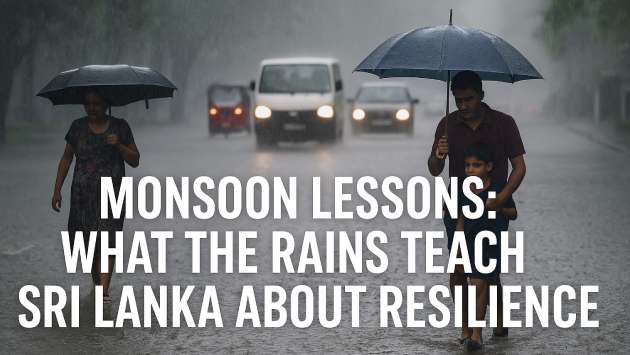
Colombo, January 12 (Daily Mirror) - The Arthur C. Clarke Institute for Modern Technologies (ACCIMT) has identified around 4,800 landslide-prone areas in Sri Lanka, based on satellite imagery captured after Cyclone Ditwah, the institute confirmed today.
ACCIMT Director General, Mrs. Kumari Meegahakotuwa, told the media that the mapping was carried out using advanced satellite images, which revealed a significant number of landslide-prone zones beyond those previously broadcasted and reported in the media. She added that the central hills recorded the highest number of landslides.
“Most of the time in our country, preparations are taken only after landslides occur, rather than proactively in advance,” Mrs. Meegahakotuwa said.
To address this, ACCIMT has decided to share the satellite map data with relevant institutions under the Disaster Management framework, universities, and other external agencies through the Ministry of Science and Technology.
In addition, inundation maps have been created to indicate the areas submerged during floods and to help authorities identify residents who need to be relocated from flood-prone zones.